





Disaster Monitoring

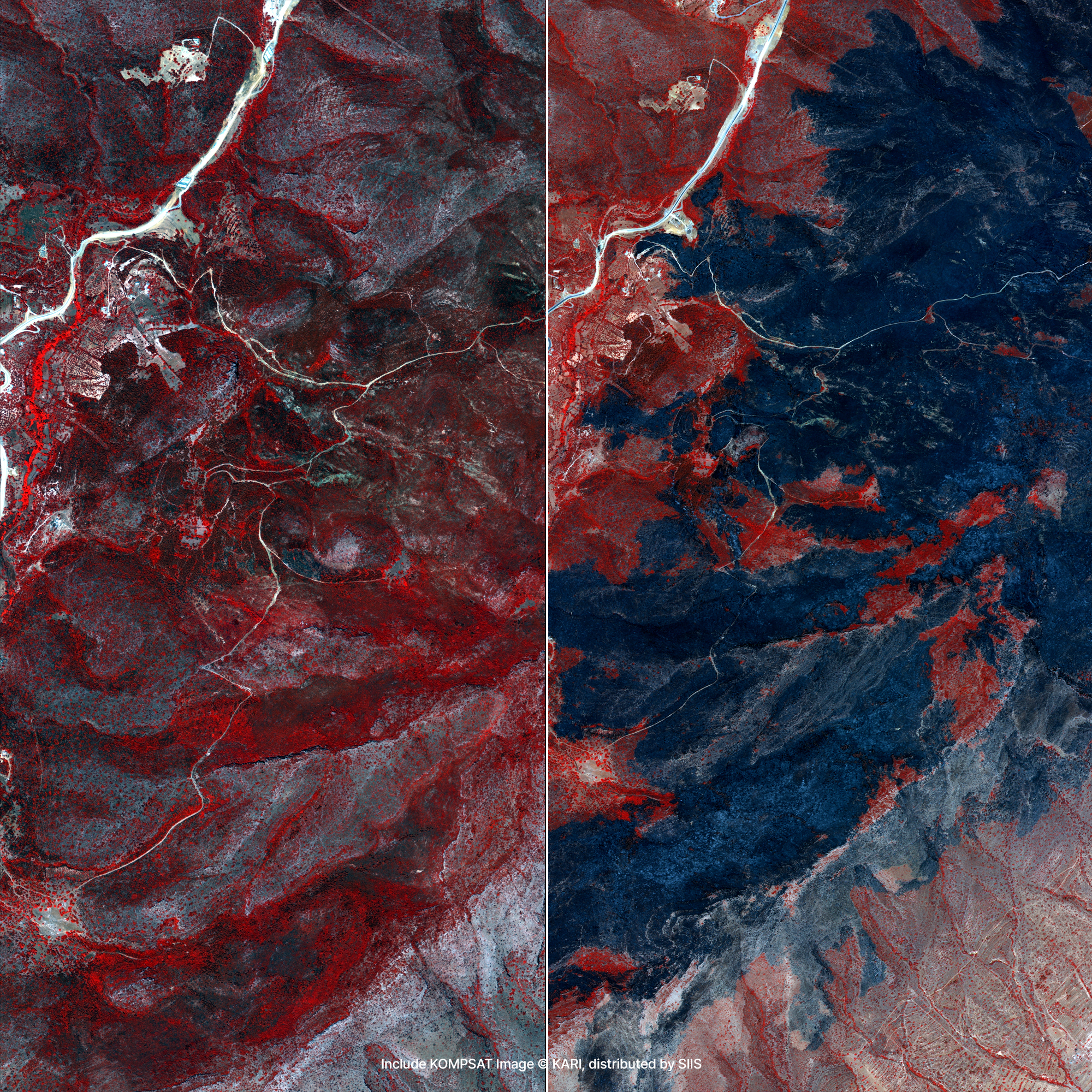
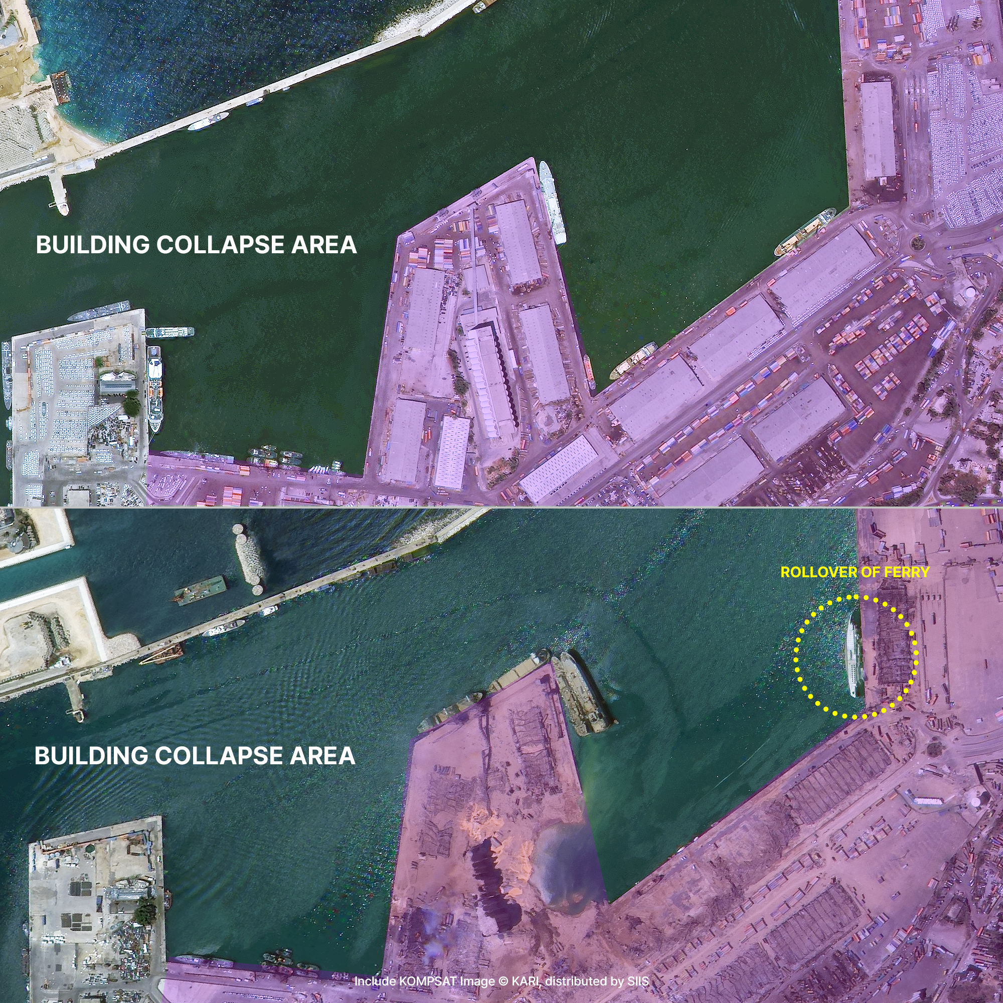
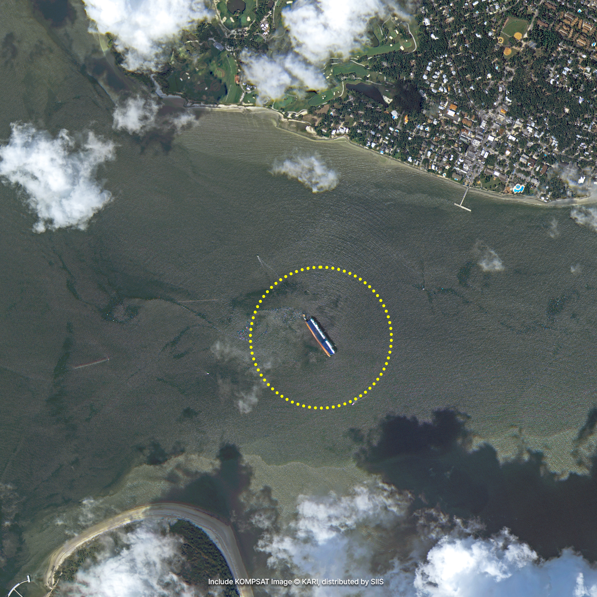
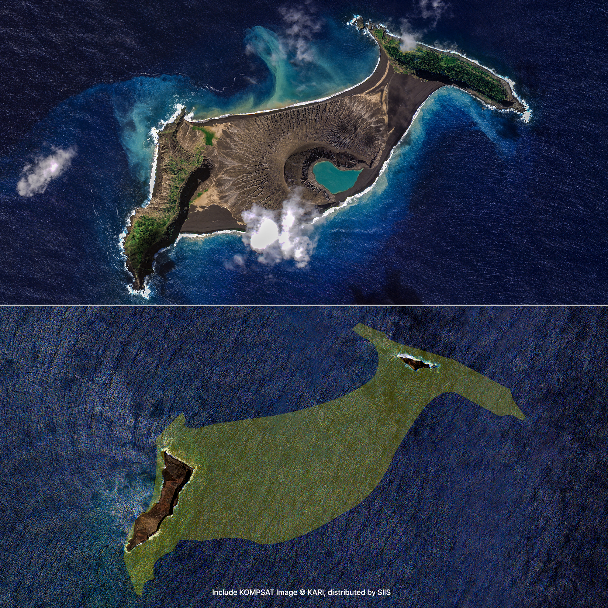
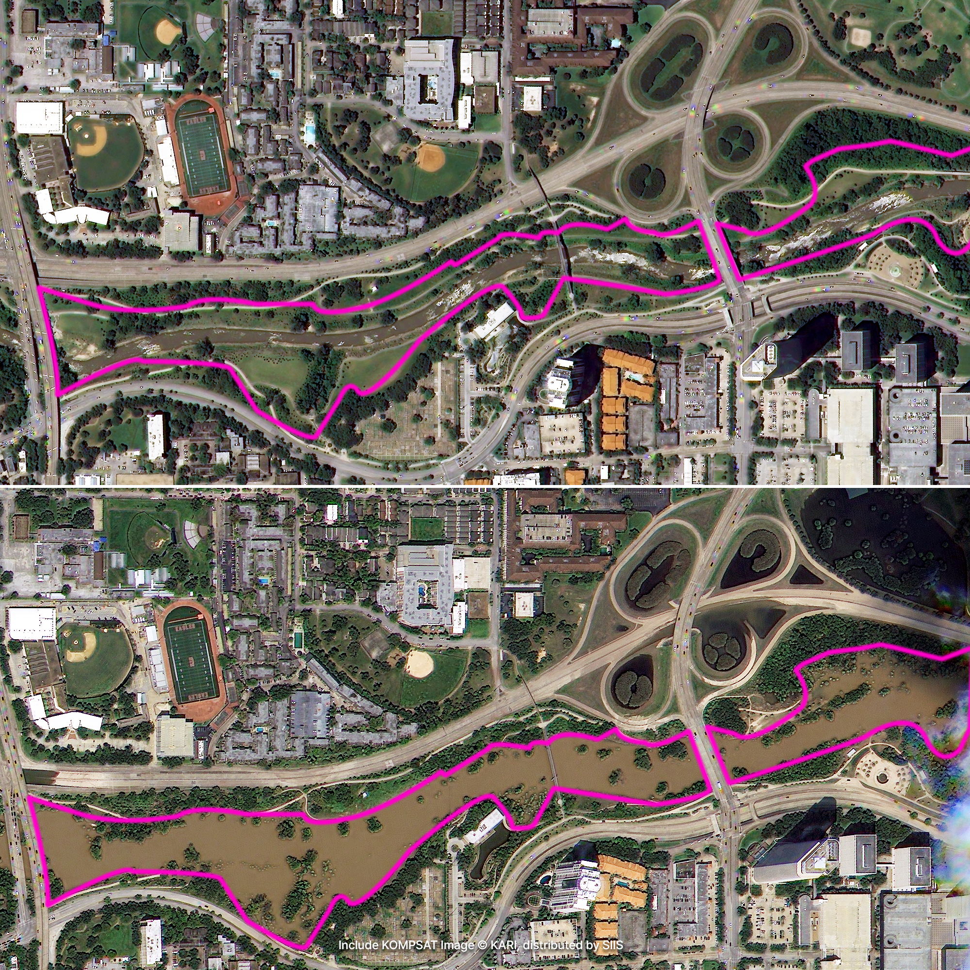
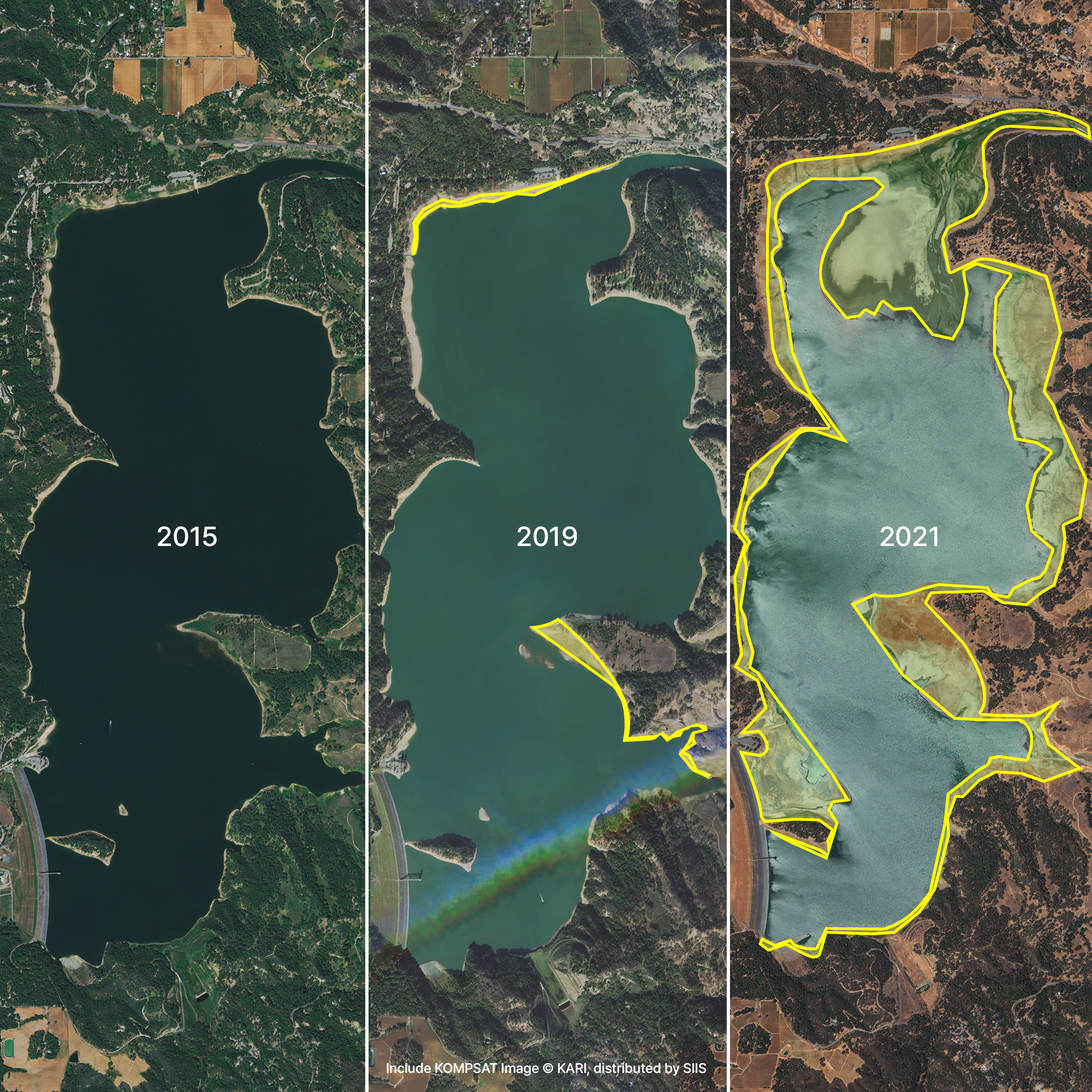
Satellite imagery enables prompt response to natural disasters by monitoring situations at a glance that are difficult to observe by humans or drones such as wildfires, earthquakes, volcanic eruptions, floods, and so on. You can also capture the before-and-after condition of a disaster site and use it in a recovery plan.
Sample Imagery
Applications

Identifying Global Disasters
KOMPSAT, for which we hold exclusive commercial distribution rights to supply satellite imagery worldwide, actively supports international disaster relief efforts by providing critical data through the International Charter on Space and Major Disasters. The Charter is a global cooperative program that facilitates rapid damage assessment and recovery operations by capturing affected areas immediately following large-scale catastrophes, such as earthquakes, typhoons, wildfires, and oil spills. Currently, the KOMPSAT fleet proudly contributes to this initiative alongside 17 of the world's leading space agencies. Delivering an average of over 500 high-resolution images annually, KOMPSAT data plays a pivotal role in analyzing environmental crises across Southeast Asia, Africa, and South America, while serving as a cornerstone for both domestic and international disaster management.

Climate Change and Environmental Issues
To address the global climate crisis and promote sustainable development, the Group on Earth Observations (GEO) has established the Global Earth Observation System of Systems (GEOSS). Within this framework, we collaborate closely with leading aerospace institutions to expand the utilization of advanced earth observation data. By integrating our comprehensive satellite imagery portfolio—which spans from cutting-edge commercial constellations to proven sovereign observation assets—we deliver the continuous, scalable data streams required to monitor climate change, reduce environmental risks, and maintain a competitive edge in the global remote sensing market.
Get in Touch
Send us your inquiries, and we’ll respond promptly.

ADDRESS : 21, Yuseong-daero 1628beon-gil, Yuseong-gu, Daejeon, Republic of Korea 34054TEL : 042-341-0401
Copyright 2025 SIIS. All rights reserved. AdminFAMILY SITE