





Maritime

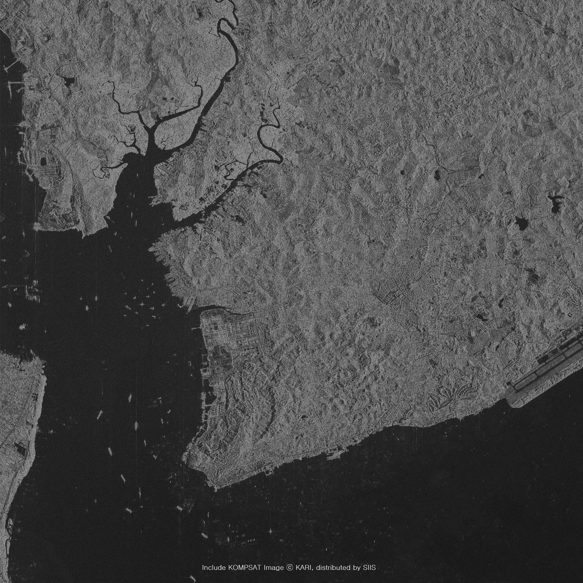
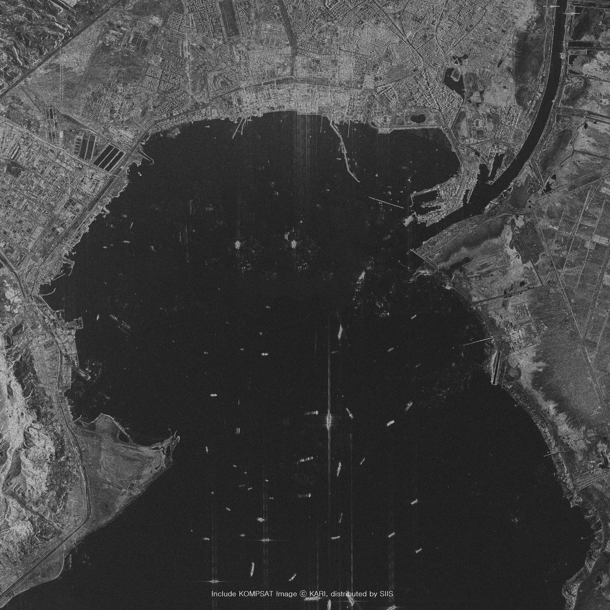
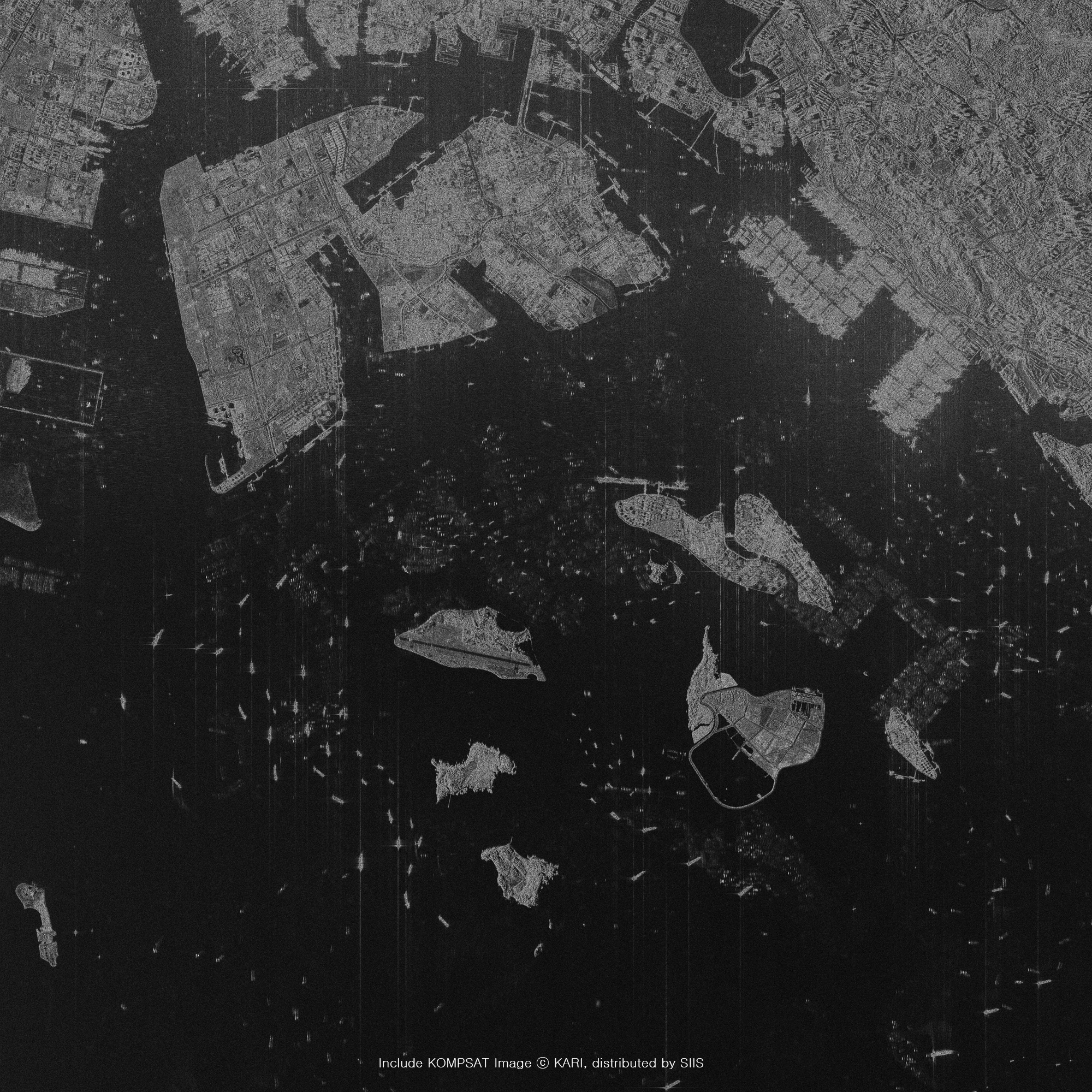
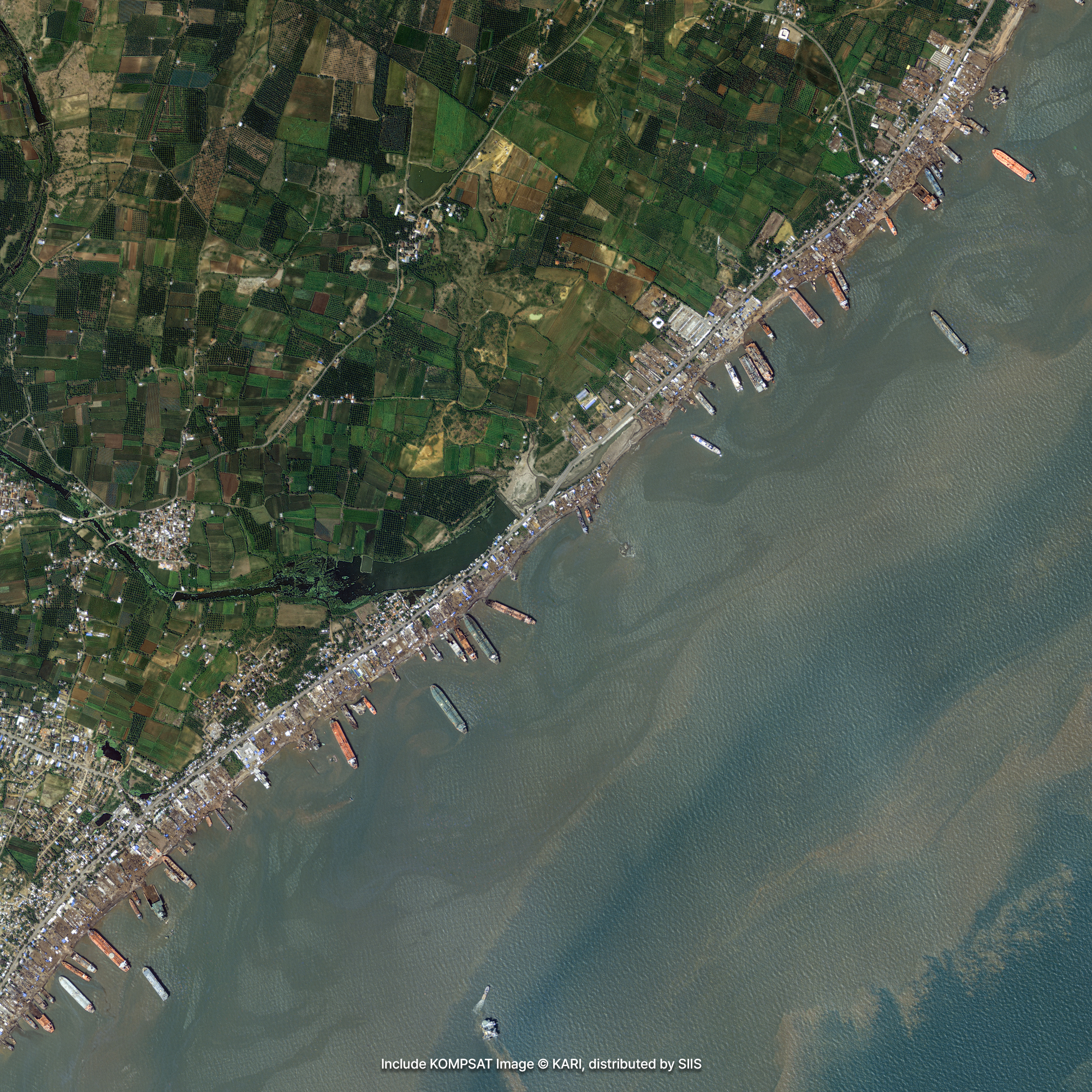
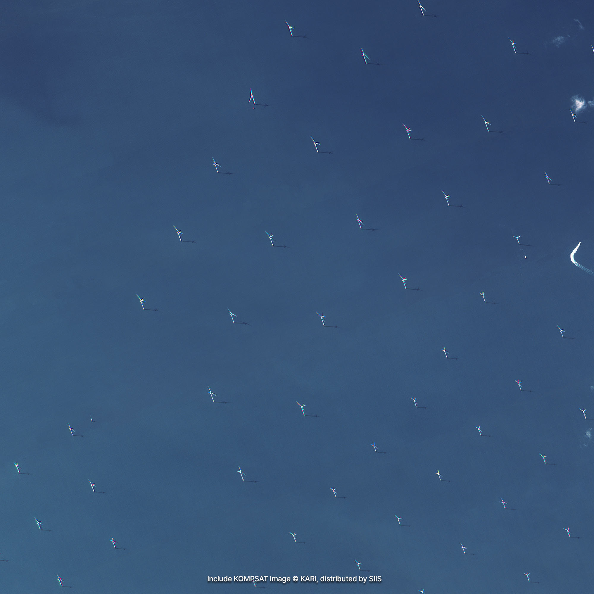
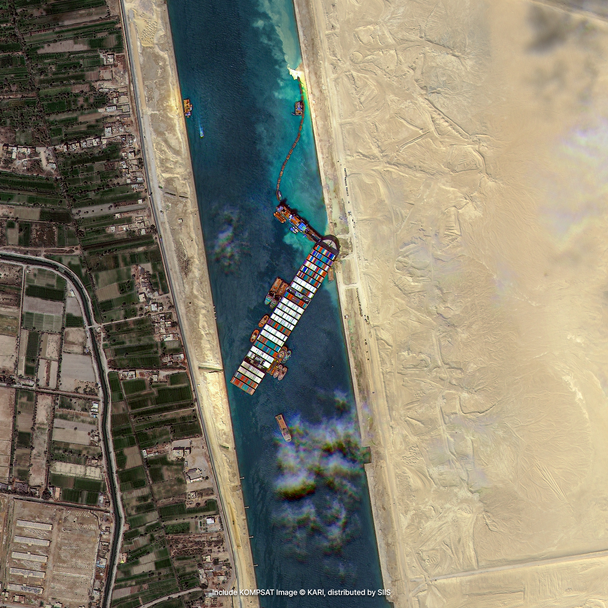
SAR satellite images can be used to detect illegal ships or to observe oil spills caused by accidents such as ship collisions or rollovers. Recently, cases of using satellite images to develop autonomous ship systems are emerging.
Sample Imagery
Applications

Illegal Vessel Detection
Leveraging very high-resolution optical and radar data, our satellite fleet provides a robust solution for maritime surveillance. Even if non-compliant vessels deliberately deactivate their tracking systems to engage in illegal, unreported, and unregulated (IUU) fishing, they can still be precisely detected through tactical satellite imaging. By cross-referencing satellite-acquired locations with real-time Automatic Identification System (AIS) signals—which legally registered vessels are mandated to broadcast—authorities can efficiently isolate, identify, and track dark vessels operating illicitly.

Oil Spill and Ship Accidents
Equipped with all-weather, day-and-night imaging capabilities, Synthetic Aperture Radar (SAR) sensors serve as the premier tool for open-ocean monitoring. Utilizing these radar capabilities, our KOMPSAT-5 radar imagery cuts through dense cloud cover, heavy fog, and darkness to expose illicit fishing operations that are otherwise invisible to conventional sensors. Furthermore, this consistent radar surveillance enables early detection of marine disasters, such as oil spills and maritime collisions. Complementing these radar assets, our optical imagery tracking expands into marine ecology, mapping chlorophyll fluctuations, monitoring sea surface temperature changes, and tracing the proliferation of harmful algal blooms (red tides).
Get in Touch
Send us your inquiries, and we’ll respond promptly.

ADDRESS : 21, Yuseong-daero 1628beon-gil, Yuseong-gu, Daejeon, Republic of Korea 34054TEL : 042-341-0401
Copyright 2025 SIIS. All rights reserved. AdminFAMILY SITE