




SpaceEye-T



Beyond Boundaries
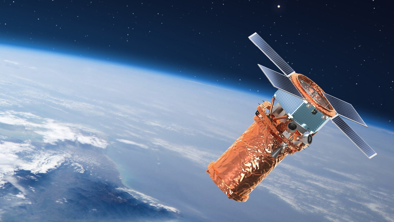
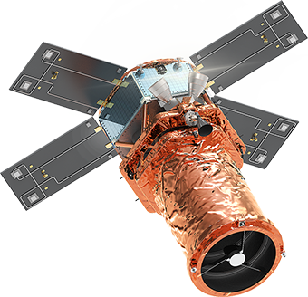
SpaceEye-T is a VVHR commercial optical satellite, developed by Satrec Initiative Group using its own technology and capital.
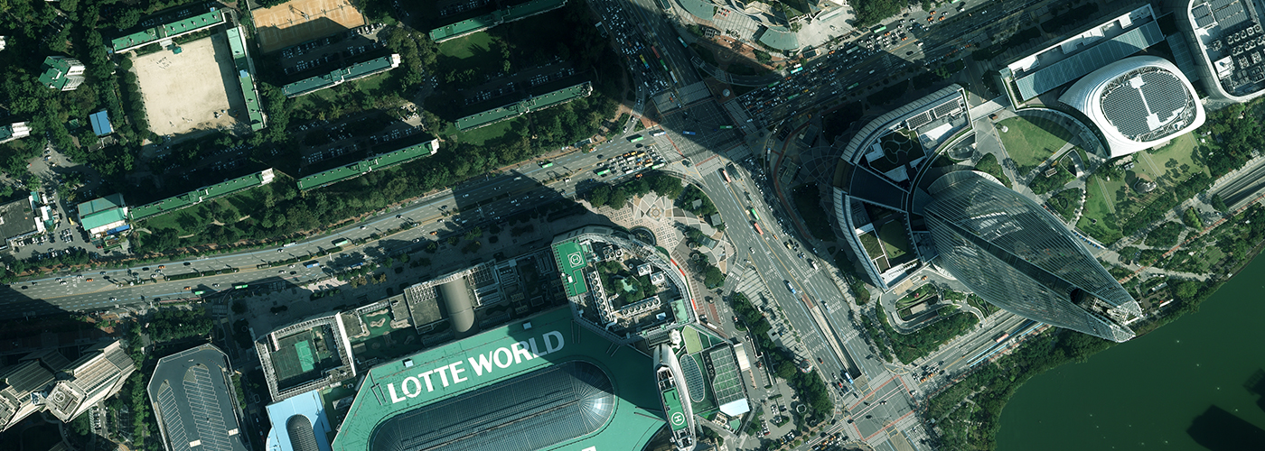
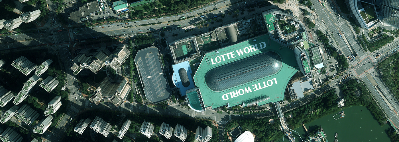
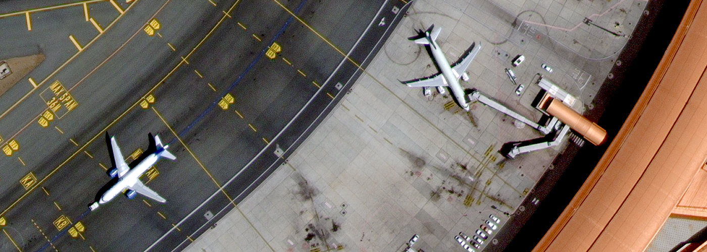
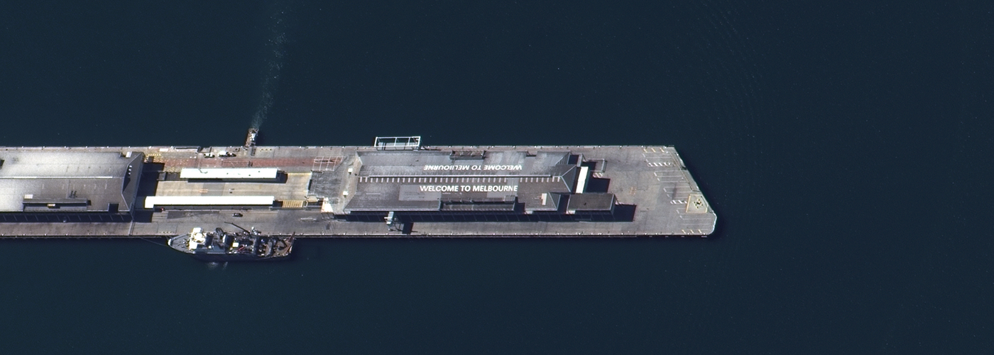
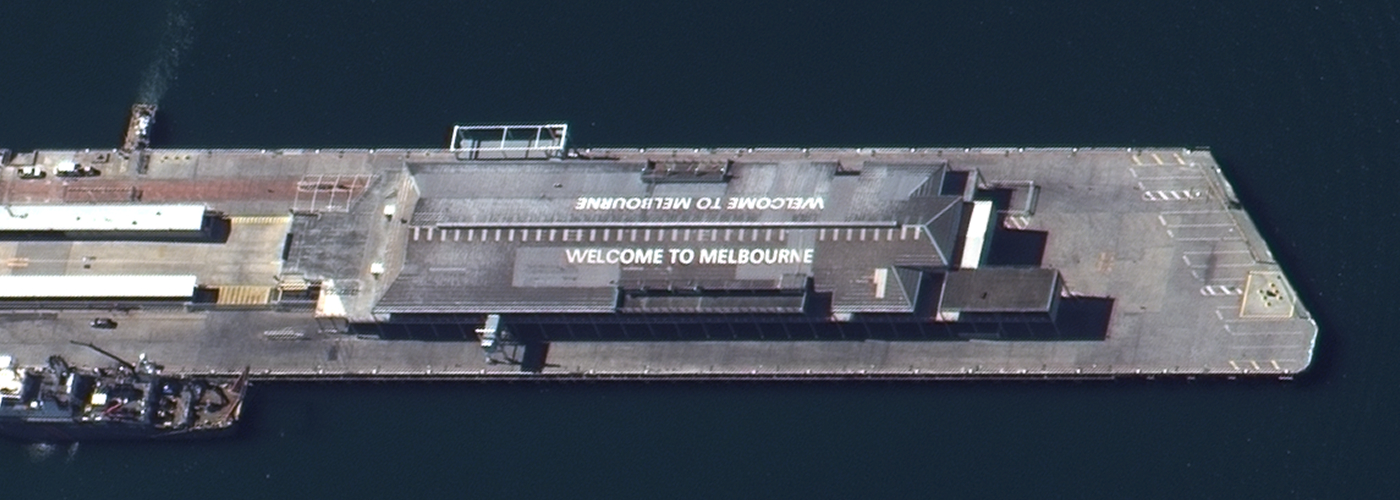
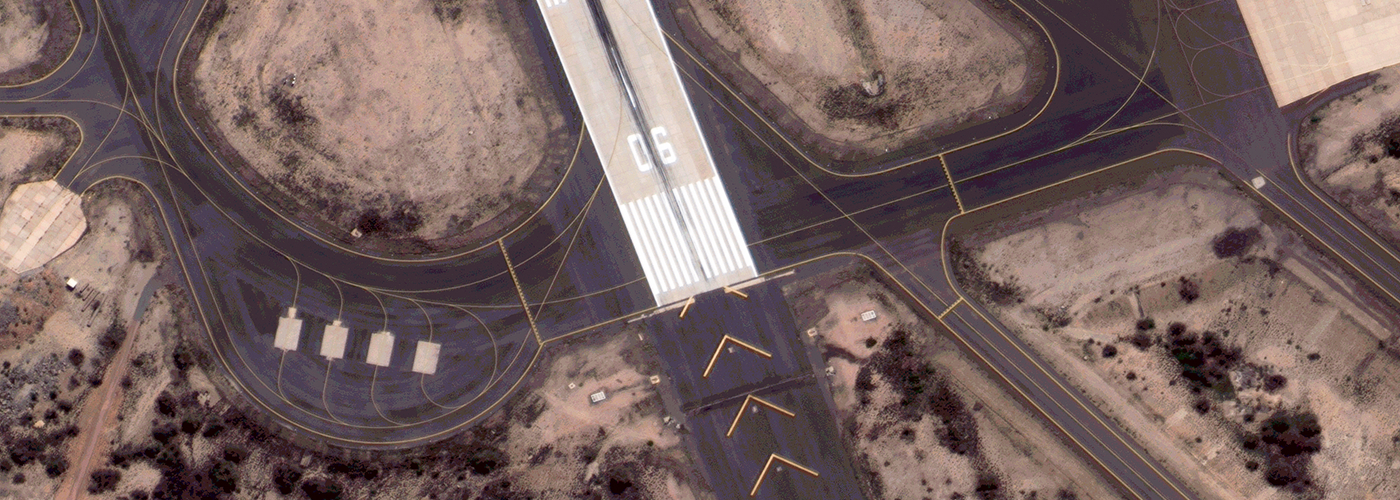
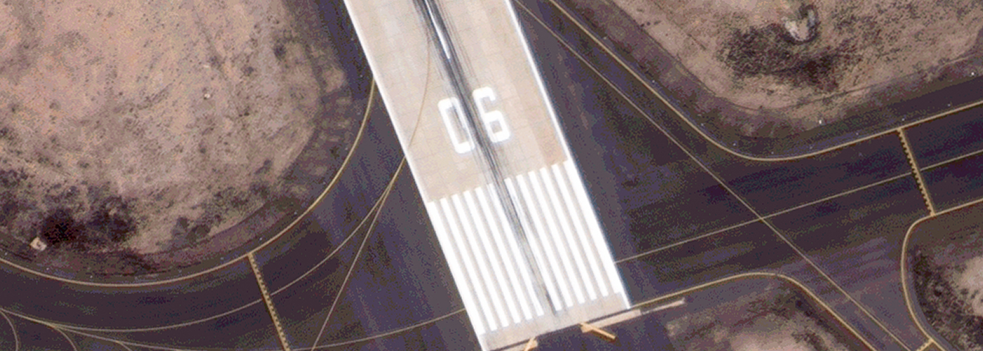
Launched on March 15, 2025, it now operates in orbit, delivering native 25cm VVHR imagery—detailed enough to distinguish vehicle types from space.
From government agencies to private companies and research institutions, SpaceEye-T enables smarter decision-making with highly precise and comprehensive data. At SI Imaging Services, we advance our mission of "Fair Access to Space" by making high-quality satellite data accessible to all who need it.
Key Advantages
 25cm
25cm
 50cm
50cm

- 25cm VVHR Native Resolution

- Unparalleled 25 cm GSD delivers a high level of detail required for object detection.
- High Imaging Capacity
- High collection capabilty of 300,000 km² per day.
- Advanced Imaging Mode
- High agility enables various imaging modes such as Tri-stereo mode and Wide-area mode.
How to Access
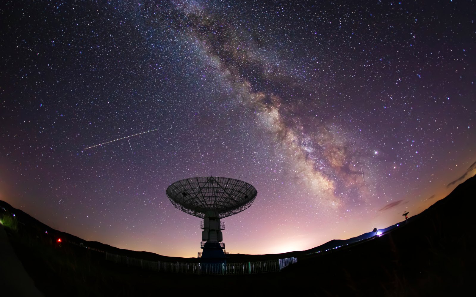
Satellite-as-a-Service (Sat-aaS)
Secure, Exclusive, and Dedicated
- One Region, One User
- Dedicated satellite leasing ensures undisputed data ownership and full operational control.
- Surveillance Without Trace
- Secure your mission with custom encryption and automated log purging―leaving no digital footprint.
Tasking-as-a-Service (T-aaS)
Agile, Reliable, and Integrated
- Select, Lock, and Capture
- Experience Assured Tasking without priority complexity. Once you select your target orbit and date, your slot is locked and guaranteed on a first-come, first-served basis.
- Seamless Integration, Unrestricted Utilization
- Streamline your imagery acquisition with API access, and freely utilize, adapt, and redistribute the data under CC BY 4.0.
Intelligence Through Open Data
Explore the SpaceEye-T Open Dataset
Discover 25 cm VVHR satellite imagery through the SpaceEye-T open dataset. Freely available on AWS under the CC BY 4.0 license, the dataset empowers researchers, developers, and businesses to explore, analyze, and develop innovative applications without barriers.
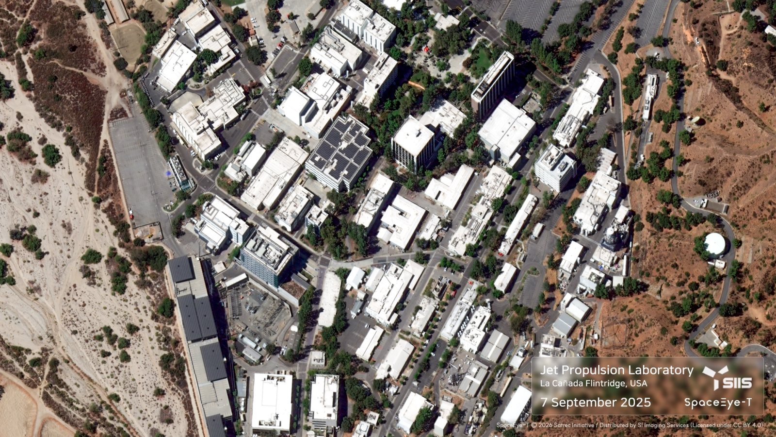
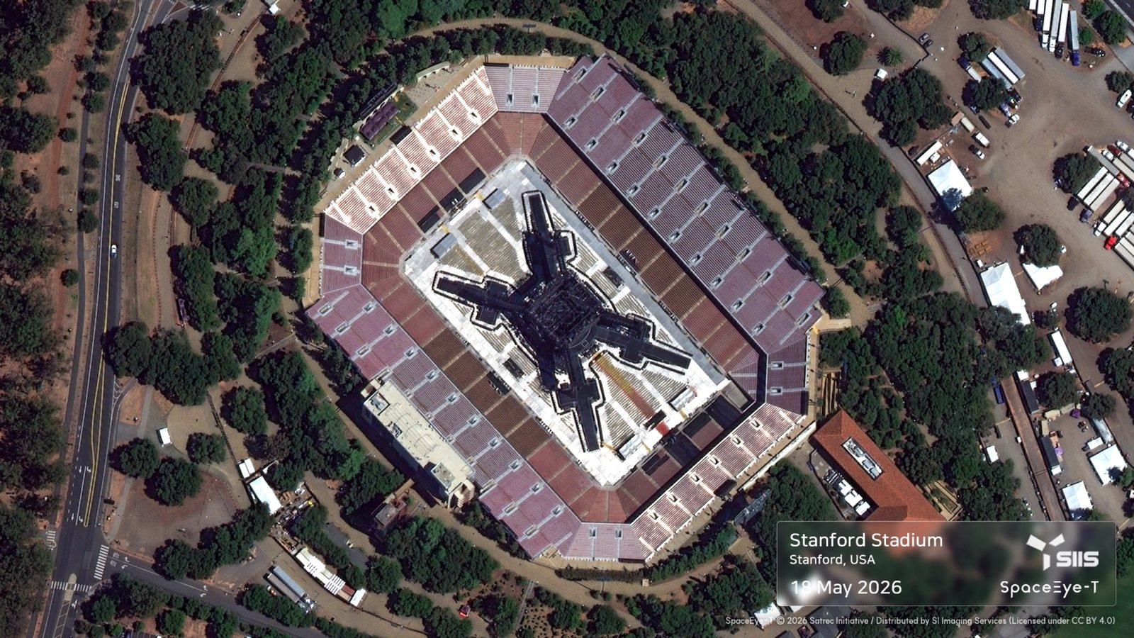
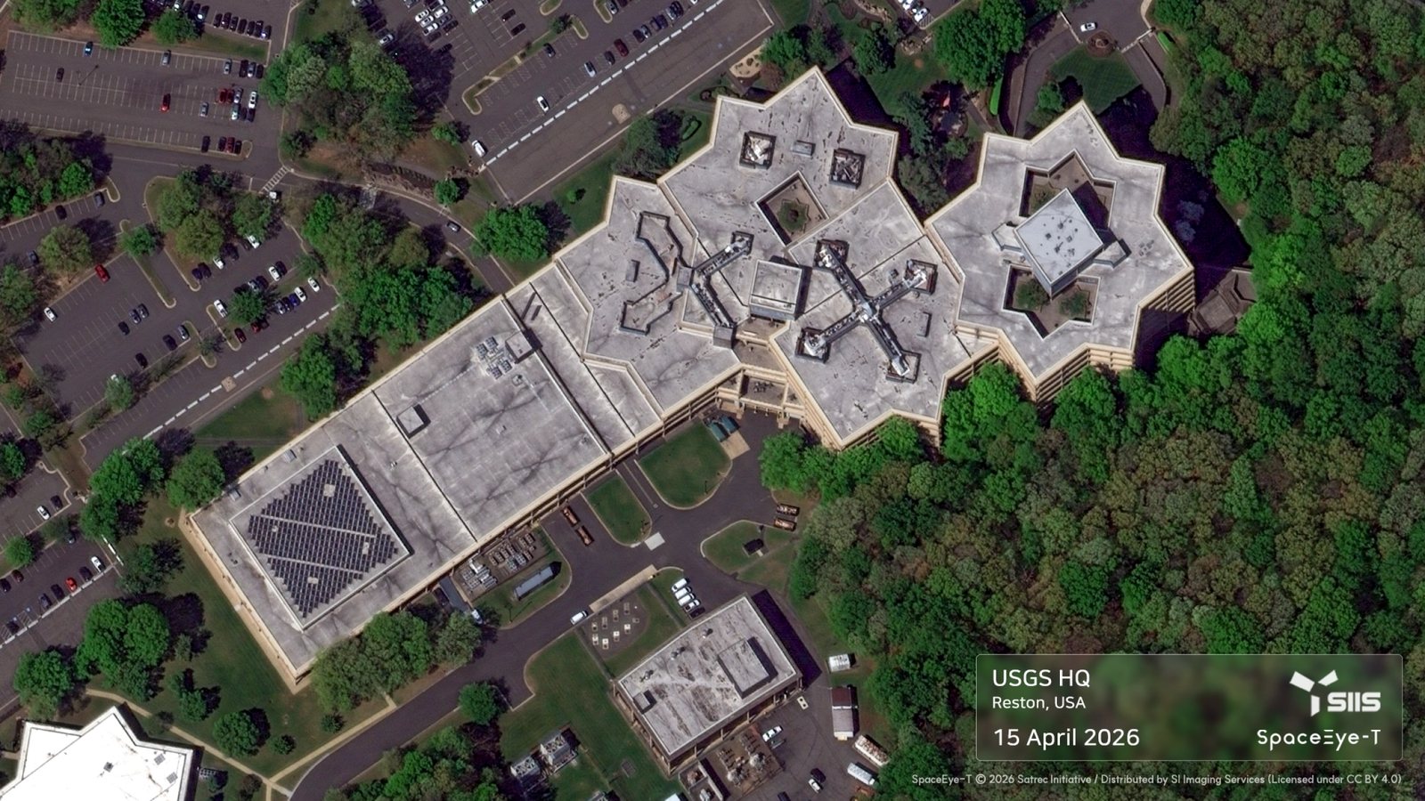
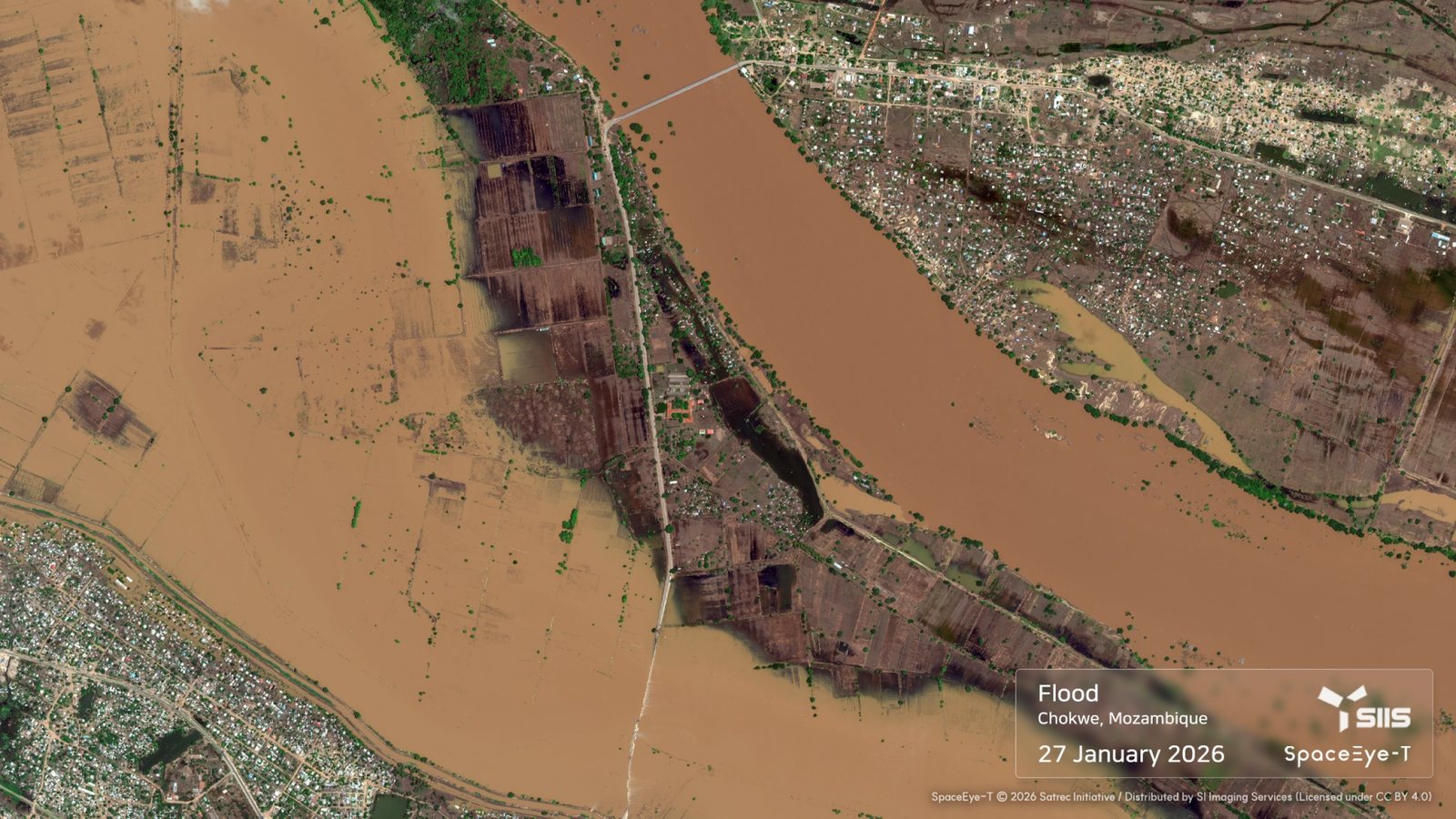
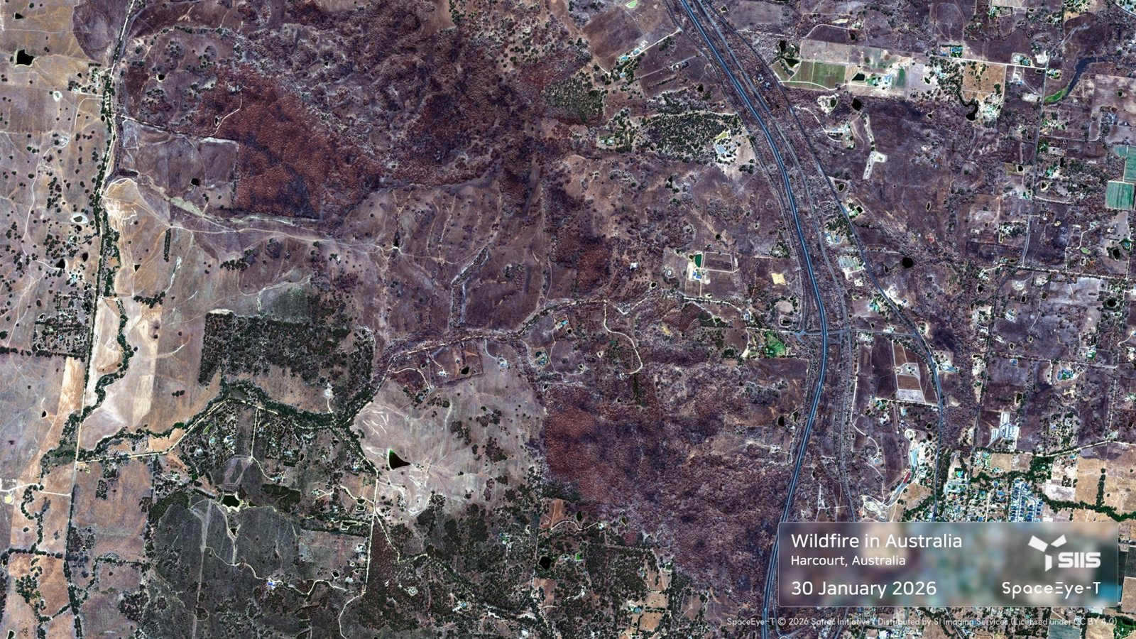

Data can be freely shared, adapted, and redistributed, provided that our copyright is properly credited.

The dataset includes a wide range of thematic imagery covering time-series changes, natural disasters, etc.

Specialized imagery such as Tri-stereo mode or CalVal site and AIS for developers are also available.
Explore our complimentary 25 cm VVHR sample datasets—openly accessible free of charge on the AWS Open Data platform by SIIS.
Go to AWSApplications
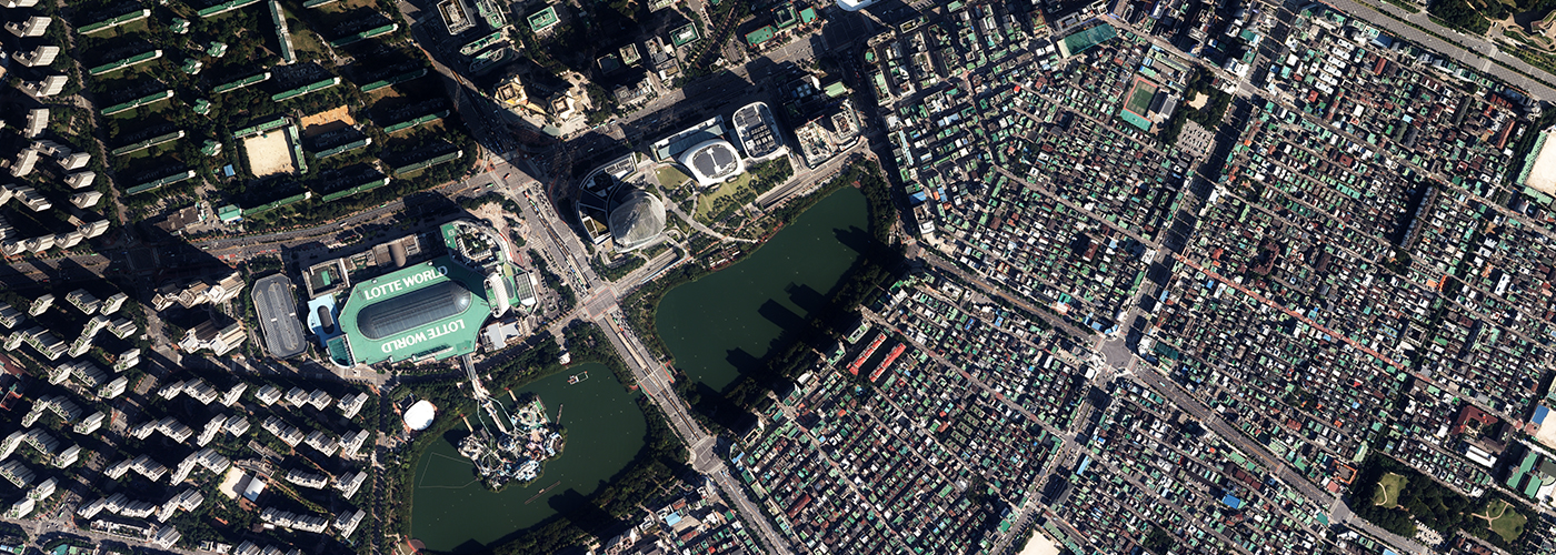
The VVHR optical imagery from SpaceEye-T is used in remote sensing,Earth observation missions, and various industries around the world.





Imagery Overview
Burj Khalifa, Dubai, UAE
Burj Khalifa, Dubai, UAE
King Abdulaziz International Airport, Saudi Arabia
King Abdulaziz International Airport, Saudi Arabia
Gillette Stadium, Foxborough, USA
Gillette Stadium, Foxborough, USA
Mercedes-Benz Stadium, Atlanta, USA
Mercedes-Benz Stadium, Atlanta, USA


Specification
| Launched |
15 March 2025 |
|---|---|
| Native Resolution | PAN 0.25m / MS 1m |
| Altitude | 500km |
| Orbit | Sun synchronous |
| LTAN | 10:30 am |
| Mass | 700kg |
| Bands | PAN/4MS |
| Bits per Pixel | 12 bit |
| Swath Width | 12 km |
| Collection Capability | 300,000 km²/day |
Get in Touch
Send us your inquiries, and we’ll respond promptly.

ADDRESS : 21, Yuseong-daero 1628beon-gil, Yuseong-gu, Daejeon, Republic of Korea 34054TEL : 042-341-0401
Copyright 2025 SIIS. All rights reserved. AdminFAMILY SITE